This new great adventure begins in the City of Sails, the best starting point for exploring the South Pacific magical islands. We docked at the Viaduct, next to the Maritime Museum, Auckland, before leaving for our first stop in the Hauraki Gulf, Tīkapa Moana. Hauraki means ‘the north wind,’ but now the official Māori name is Tīkapa Moana, which means 'sound of mournful sobbing.’ This refers to a sea protected by sacred rock or mauri. The gulf is mostly protected and is considered a marine reserve. It lies between the Auckland, Hauraki, Coromandel, and the Great Barrier Islands. Around the gulf, over 50 islands offer incredible green landscapes in contrast to turquoise waters.
Aucklanders enjoy the gulf every summer and spring, and over 30% of the population consider themselves to be boaties. A local sailor told us that he had enjoyed bays around the gulf for over 40 years. The islands around the gulf offer pristine beaches, camping spots, historical sites, vineyards, amazing diving, and fishing; if you love snappers and crayfish, then this is the place for you!
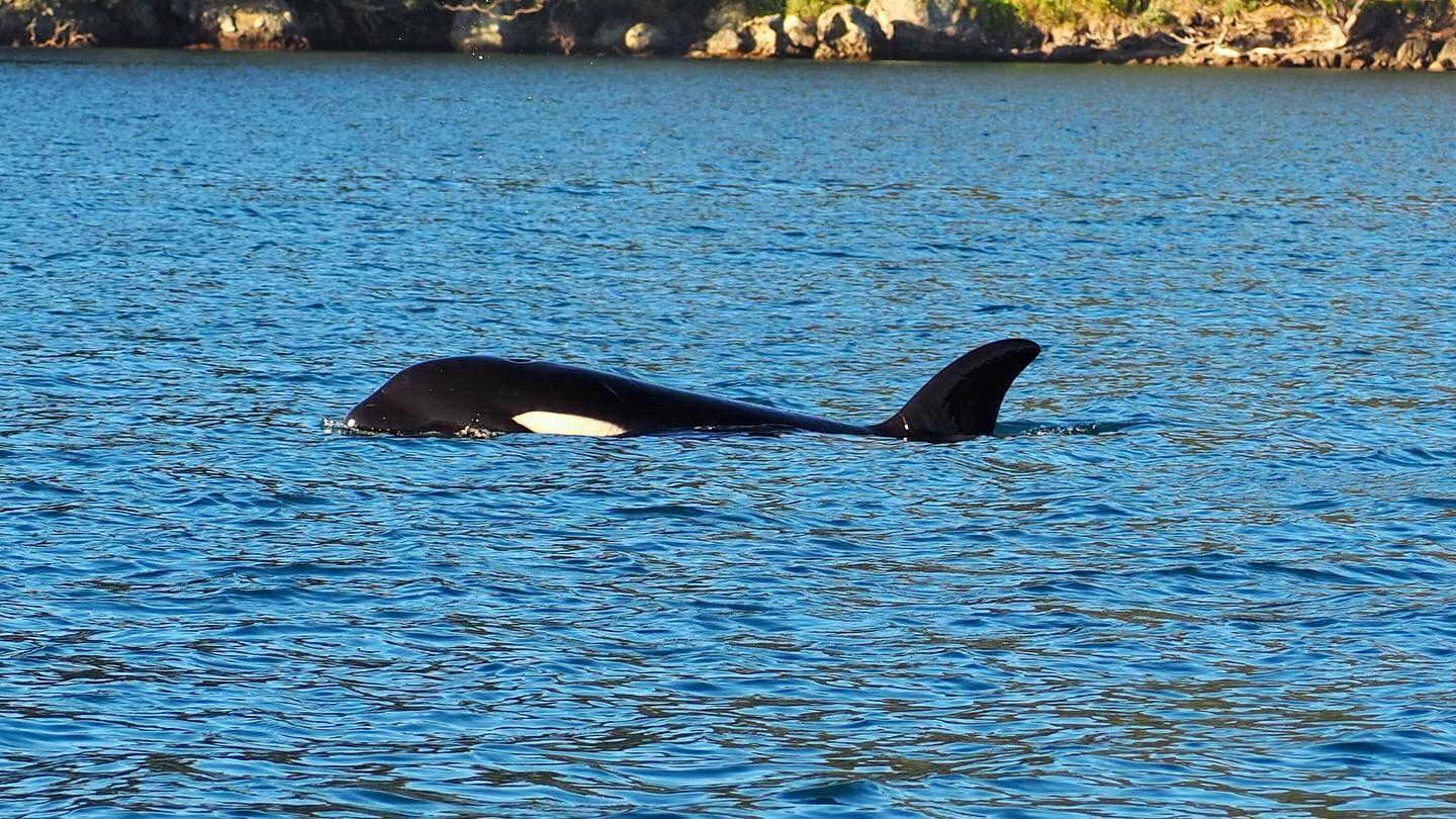
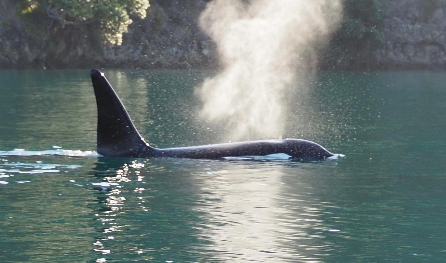
The Hauraki Gulf is over 4,000 km2 and it is characterized by spectacular wildlife, such as whales, dolphins and unique bird species. Nearly one-third of the world's marine mammal species live in or visit the gulf. Two weeks ago, when we sailed across the Great Barrier Island, we encountered a pod of orcas. Six of these were super-friendly. We could not believe our eyes and even local sailors said that they had been going to that island for many years and had never seen orcas before. We were super lucky.
Journey preparations
Before leaving our first stop, we planned the routes using the Aqua Map application. The charts for New Zealand are very specific and detailed, making our planning stage extremely easy. Weather and forecast layers are easily added to the app so that a clear picture of the conditions can be obtained. The other advanced features that the app offers are tides and currents. This is particularly convenient when looking for an anchorage to spend the night. Finally, the anchor alarm function was intuitive and precise. You can check the current anchor alarm status at any time by seeing a colored circle on the map in the app.
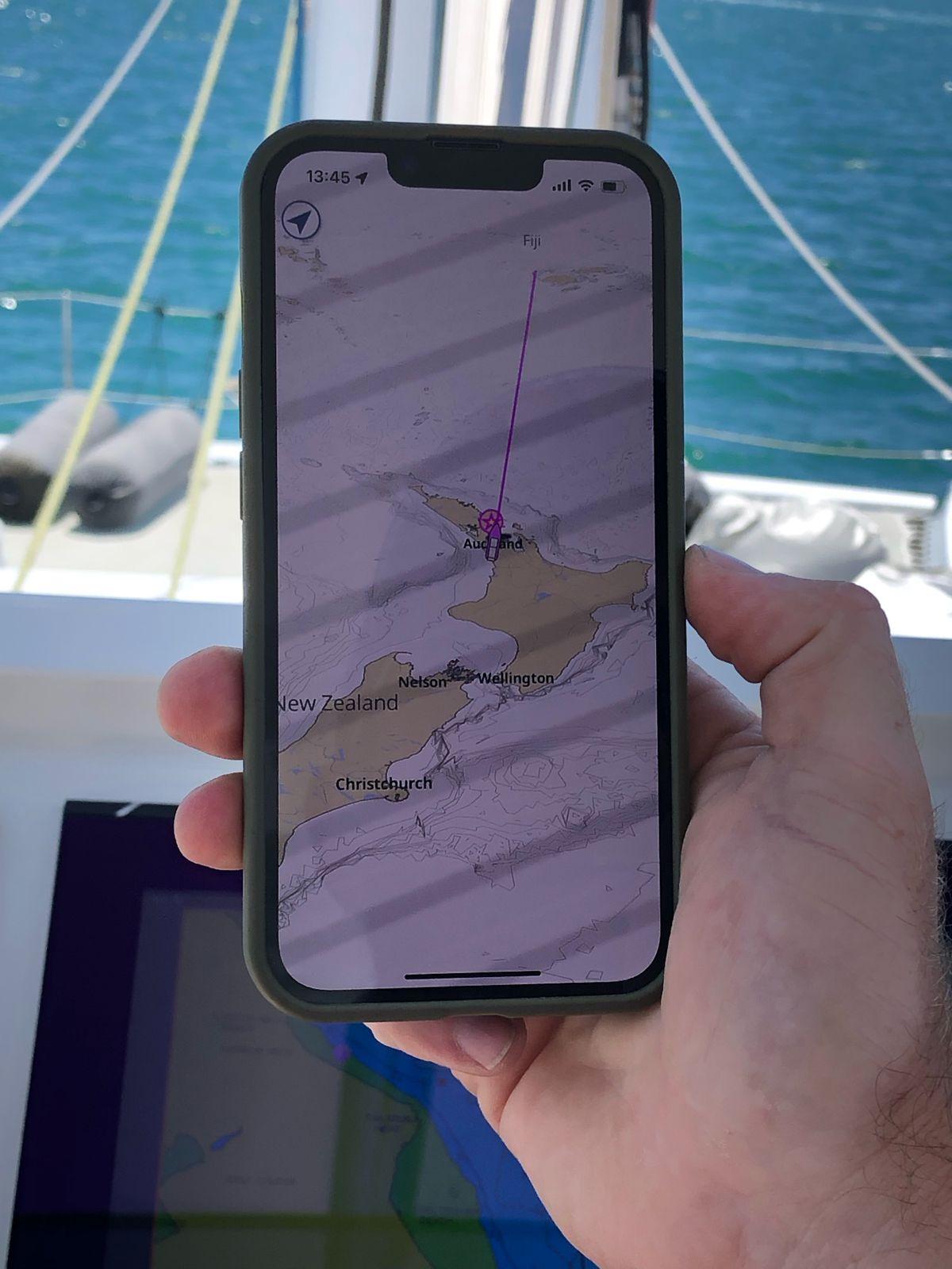
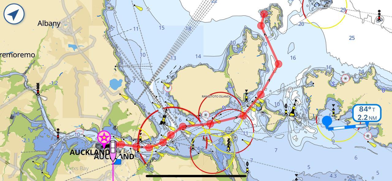
We planned all our routes ahead of time, however due to weather conditions these are constantly changing. The good thing about the route planning feature in the aqua map app is that you can edit the routes at all time, as well as layered the weather condition on top to monitor as it changes.
Our first stop in our gulf voyage was Kawau Island, the largest and closest to the northeastern coast of the North Island of New Zealand. We anchored at the famous Mansion House in Mansion House Bay. The entire island is covered with bush and local flora, such as Kanuka, Manuka, and Pohutukawa. Approximately 80 people live on this island; however, during weekends and on nice days, the island welcomes hundreds of visitors. The original settlers of Kawau Island were Maori tribes who periodically fought for the right to inhabit the island. The island was eventually abandoned in the early 1820s.
Approximately 20 years later, a manganese mine on the island was discovered, and shortly thereafter, copper was found by chance. The fascinating remnants of underground copper mines, including pumping engine houses and small smelters, are still visible today.
Kawau Island was then acquired as a personal residence by Sir George Grey, one of New Zealand’s pioneering governors, in 1862. He commissioned architects to renovate the mining manager’s house extensively, resulting in a grand mansion that continued to stand proudly in its serene, Sunlit Bay, after undergoing thorough restoration.
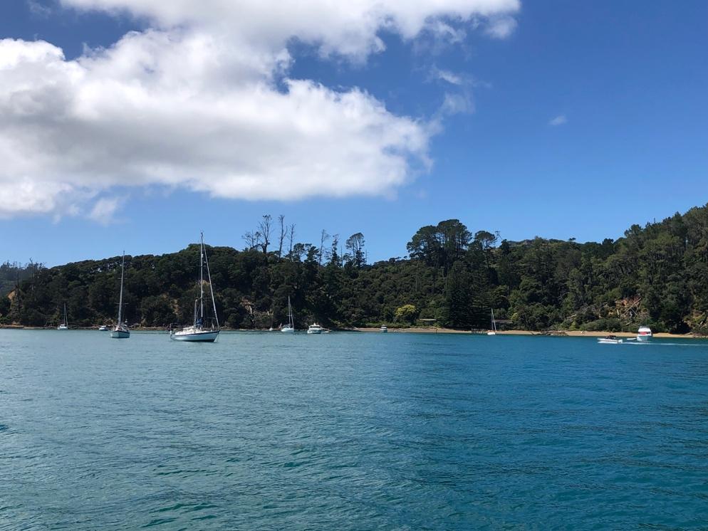
After two days in Mansion Bay, we sailed towards the Great Barrier Island (our lucky place). Aotea, for its Māori name or Great Barrier Island, is covered in pristine forests and beaches. This island relies on renewable solar power for the collection of freshwater and sustains a population of almost 1000 people. Diving and fishing were the most popular activities in this area. I was surprised by the number of crayfish pots set up. Wildlife is incredible. From the back of our boat, we saw different tropic bird and seagull species, as well as some sharks, such as the bronze whaler or copper shark.
We anchored at Smokehouse Bay, Port FitzRoy Harbor, which is considered a boatie’s heaven. On shore, there are open cooking fires and legendary pizza ovens. In addition, there is hot water and a cast iron bath tub to ease any sailors’ aches.
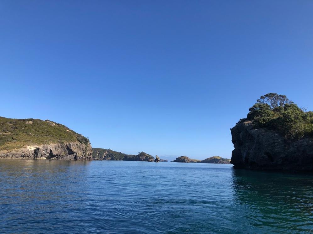
The landscape cruising around Great Barrier is otherworldly. Islets and rocky outcrops form a natural sea maze. Doing water sports around the Great Barrier, such as kayaking, standing up paddle, or snorkelling, is idyllic. The rocky outcrop acts as a natural barrier from the wind, providing calm bays for enjoyment.
The European settlers exploited the Great Barrier Island, discovering an abundance of resources. They hunted whales for their meat and oil, mined copper, gold, and silver ore from the island's rocks, and felled the magnificent kauri trees for their valuable timber and gum. Additionally, they logged other trees to supply the firewood trade. Moreover, Aotea (Great Barrier Island) is a significant location in the traditional history of the Māori people. The island's current residents can trace their ancestry back to this place over many generations, as evidenced by the numerous archaeological sites found mostly in coastal areas.
With sadness we said goodbye to this magical island to continue our journey through the Hauraki Gulf. Our next stop was Rakino Island. A small island surrounded by stunning blue waters, offering breathtaking views that extend to the Coromandel, Great Barrier, Waiheke, and Auckland City. Boats often drop anchor in Woody, Pohutukawa, and West Bays. Approximately sixteen people live in Rakino.
Rakino Island’s history includes Sir George Grey, the former Governor of New Zealand, who built his home on the island in 1862 before being enticed to Kawau Island.
After spending the night in Rakino, we embarked on our final destination, Waiheke Island, which is approximately 40 minutes away from Auckland and famous for its delectable cuisine and fine wines. Waiheke Island offers various vineyards and wine-tasting tours, as well as pristine white sandy beaches and serene bays that are perfect for summer relaxation. Furthermore, the island provides ample opportunities for exploring its various trails and hiking paths, providing a break from the boat life. There are numerous trails that wind along the cliff tops, descend to the beaches, and venture into the lush native forests. Additionally, Waiheke Island, like other areas around the Hauraki Gulf, has several historic sites to visit, such as the Stony Batter walkway at the eastern end of the island, which leads to a network of World War II gun emplacements and underground tunnels.
The Hauraki Gulf is full of surprises and otherworldly landscapes, every sailor should experience its magic.
Camila Arnés-Urgellés
Marine Ecologist


