The Aqua Map team is excited to announce a new partnership with NOAA for the Crowdsourced Bathymetry project, promoted by the International Hydrographic Organization (IHO), with the aim of improving the accuracy and timeliness of nautical chart updates.
How?
By collecting and sharing bathymetric data from non-traditional sources, such as recreational and commercial vessels equipped with navigation systems capable of collecting such data.
This project will be able to offer lots of benefits, including the ability to quickly update charts in areas where traditional survey methods are not usable, the ability to validate and integrate existing survey data, and the potential cost savings associated with using crowdsourced data.
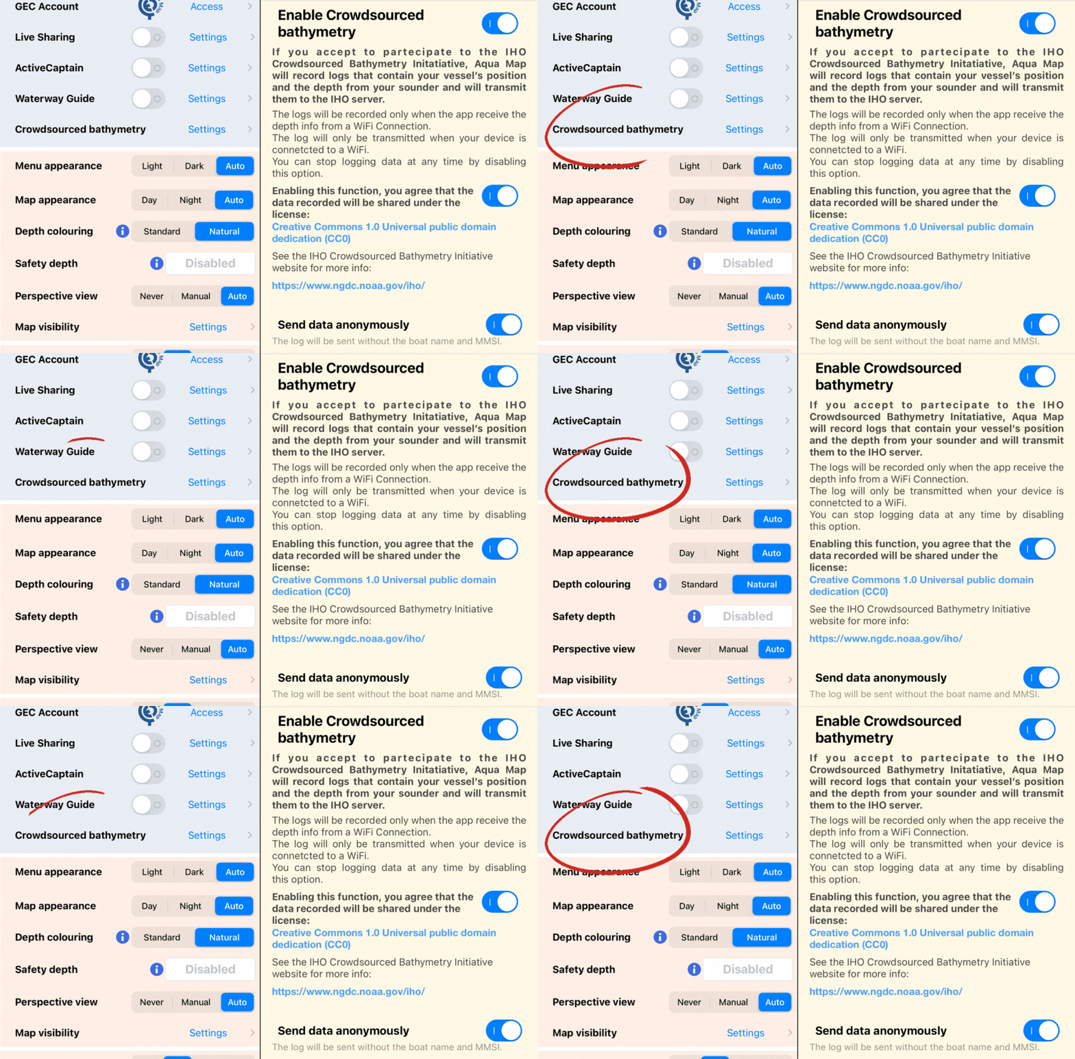
By simply turning on the CSB switch in the new dedicated section of the settings menu, users can participate in the initiative. Aqua Map will record the location of your vessel and depth info from your depth sounder and transmit them to the IHO server via NOAA.
Recordings can only be made if the application receives depth information from a depth sounder connected via WiFi. They will then be transmitted only when the device is connected to a WiFi network.
You can stop data transmission at any time by deactivating this option.

Aqua Map's participation in the program is part of a larger international initiative to improve nautical charts through community collaboration. This approach allows for more accurate and up-to-date maps, improving the safety of boaters.
Aqua Map strongly believes in the importance of community participation and wants to differentiate itself from the trend followed by other industry players by being fully open to any project or collaboration going in this direction.
The potential of crowdsourcing in the world of marine navigation is infinite.
In addition to improving maps, this approach can be used to identify safer routes, monitor weather conditions, as well as promote tourism.
In the field of recreational boating, crowdsourcing can be used to monitor marine pollution, involve local communities in data and information sharing, and create interactive maps.
Crowdsourcing represents a valuable source of information and data to improve safety at sea from every perspective.
Taking part in the CSB initiative as trusted node is just another step in our journey; a way of demonstrating our commitment to data improvement through crowdsourcing.
We invite our users to play a part in these initiatives and to be active in promoting the safety and accuracy of nautical charts.
We are convinced that community collaboration and participation are essential to achieving these goals.
Together, we can make a difference and contribute to improving marine navigation for everyone.
Pietro Ferri, Aqua Map Team.


